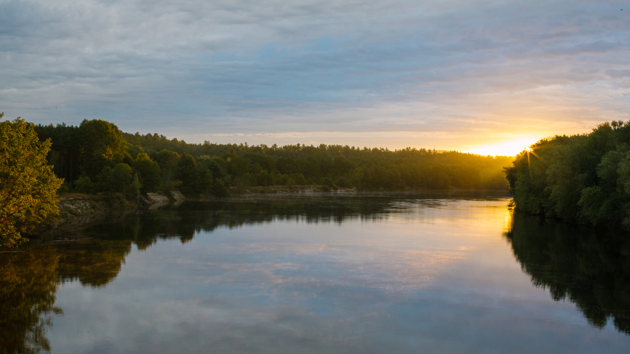
Connecting New Hampshire
Short videos for kids of all ages.
Produced independently.

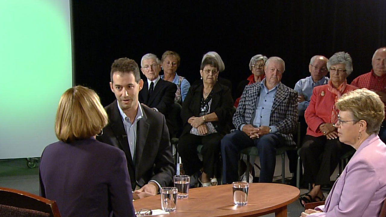
What is the role of the military in a democracy?
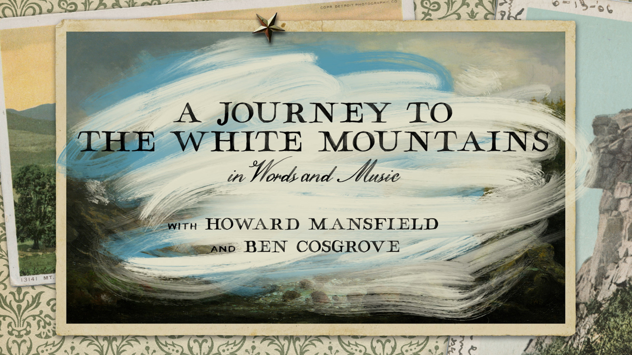
In Words and Songs
Produced independently.
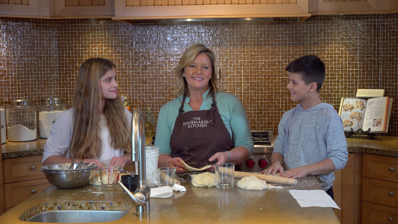
Grab your kids and let’s get cooking!
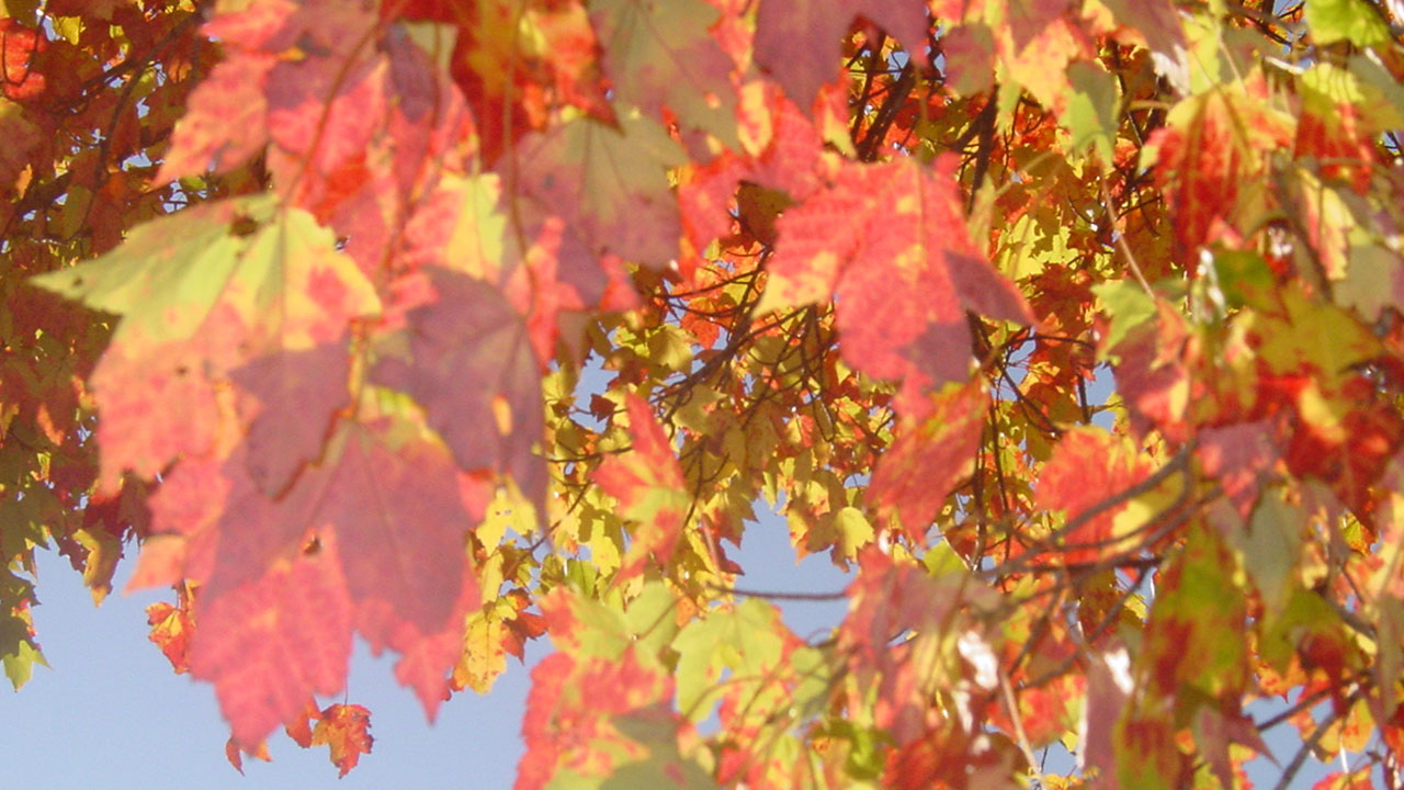
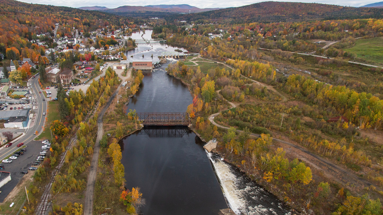
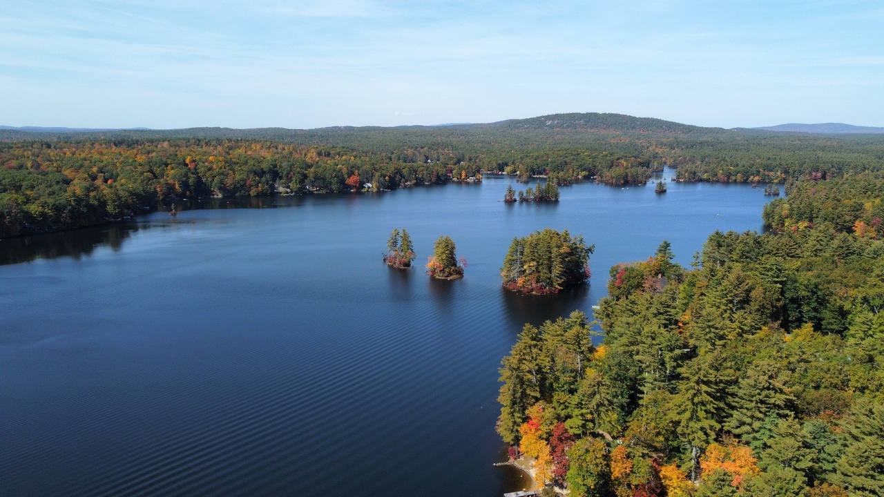
Celebrating the beauty and rich traditions of fall.
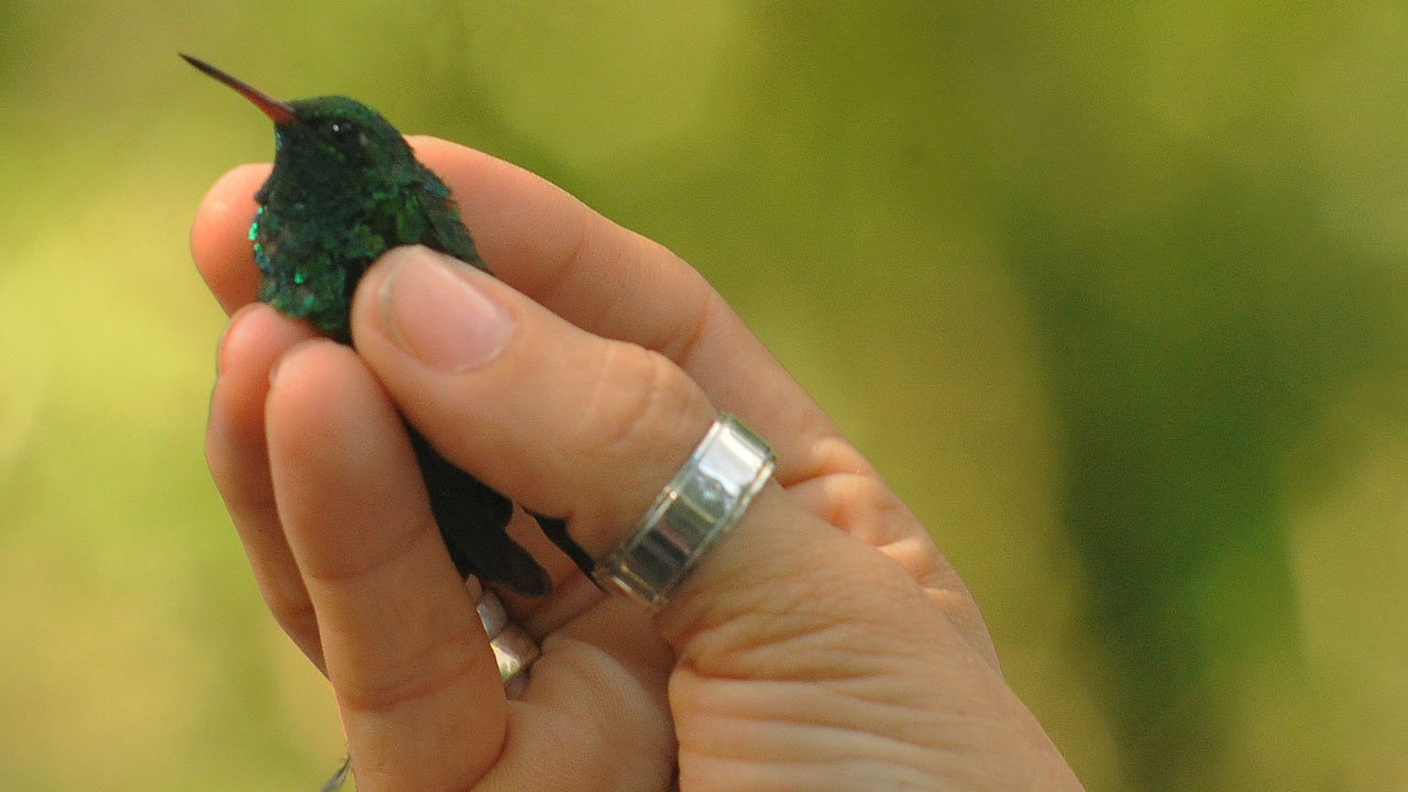
Why are people so devoted to birds?

Paid caregiver workforce challenges and solutions for the Granite State.
Personal stories, expert perspectives, and engaging discussions.
Produced independently.
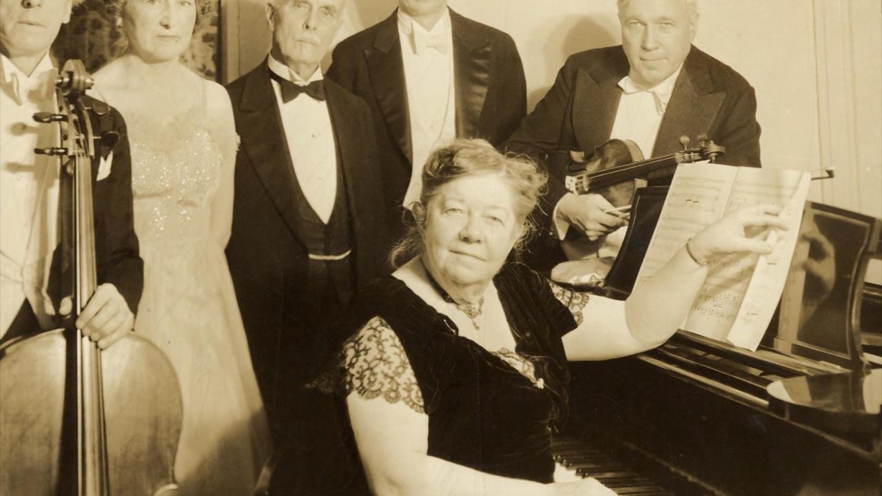
Amy Cheney Beach was born in Henniker, New Hampshire.
Produced independently.
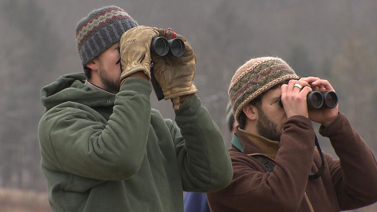
How did a Christmas-time tradition of shooting birds change to one of counting them?
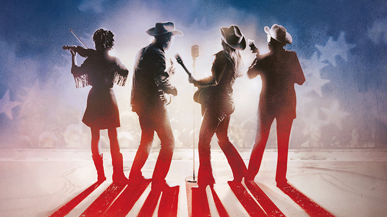
Explore the history of a uniquely American art form
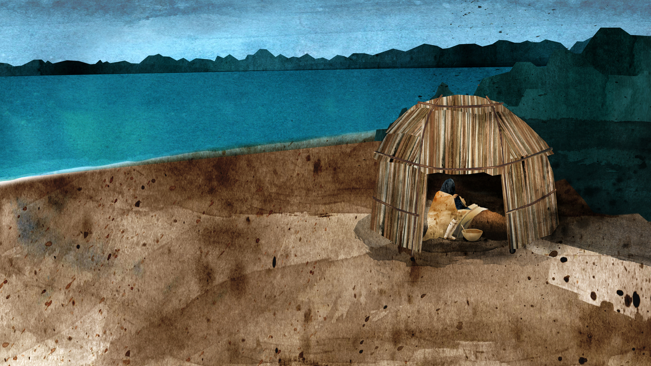
They came to New England for the promise of a better life.

Arguably the greatest amateur athlete who ever lived.
A Film by Ken Burns and Lynn Novick
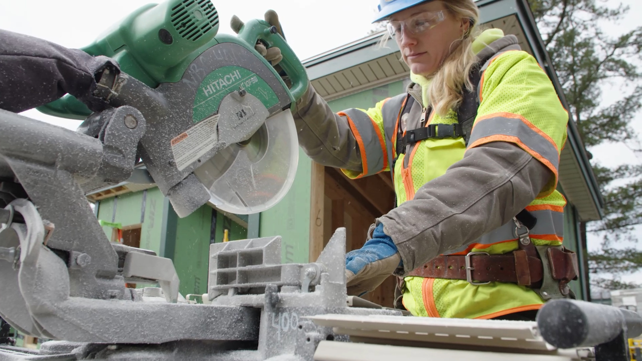
Thousands of well-paying jobs in New Hampshire are going unfilled

Guidelines for independent producer submissions.
Every year, thousands of broad-winged hawks embark on a treacherous flight.

Tom wasn't a heavy drinker, but he decided to have a few beers with some friends.
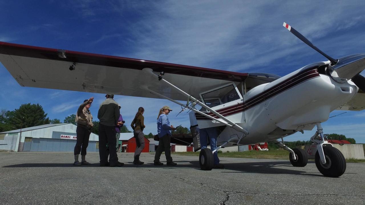
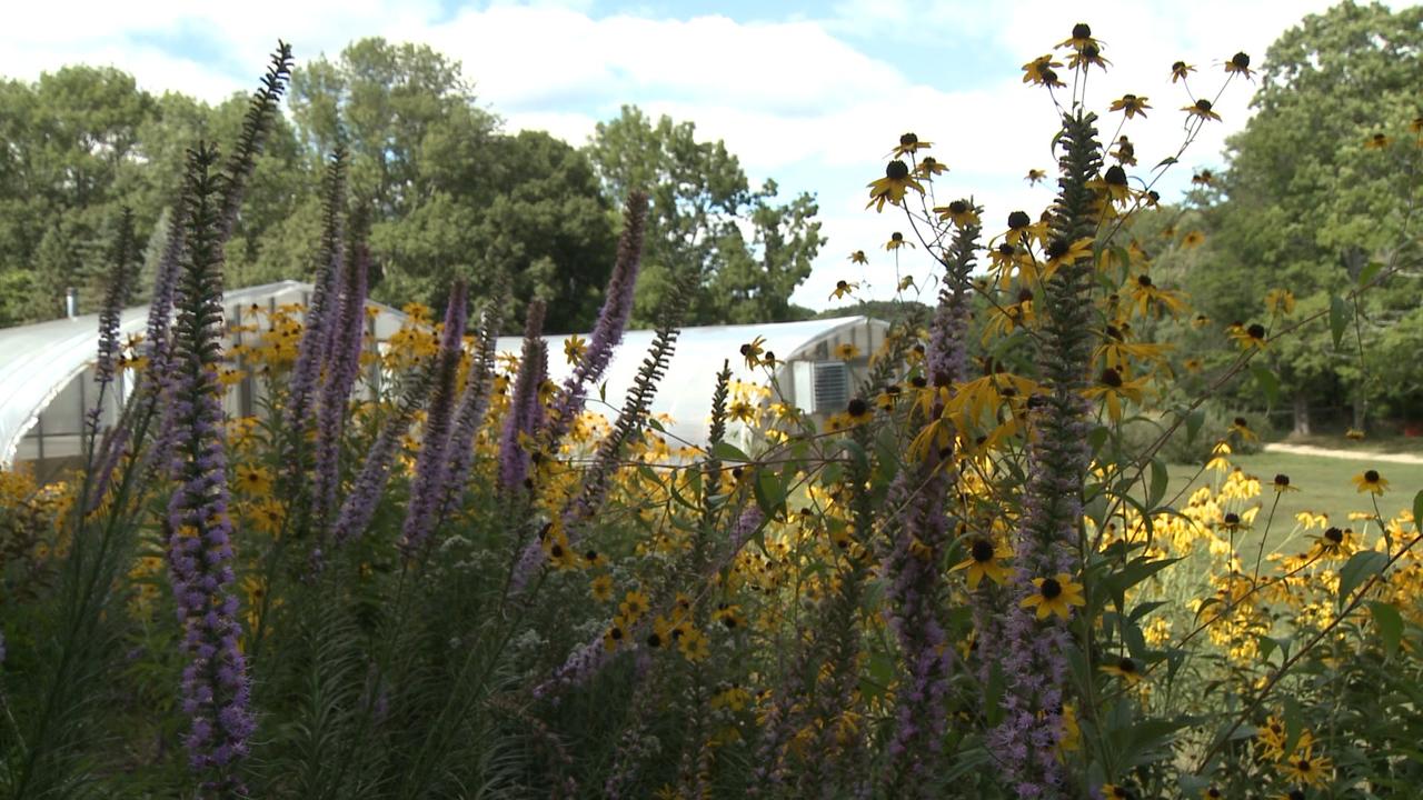
Volunteers make conservation possible.
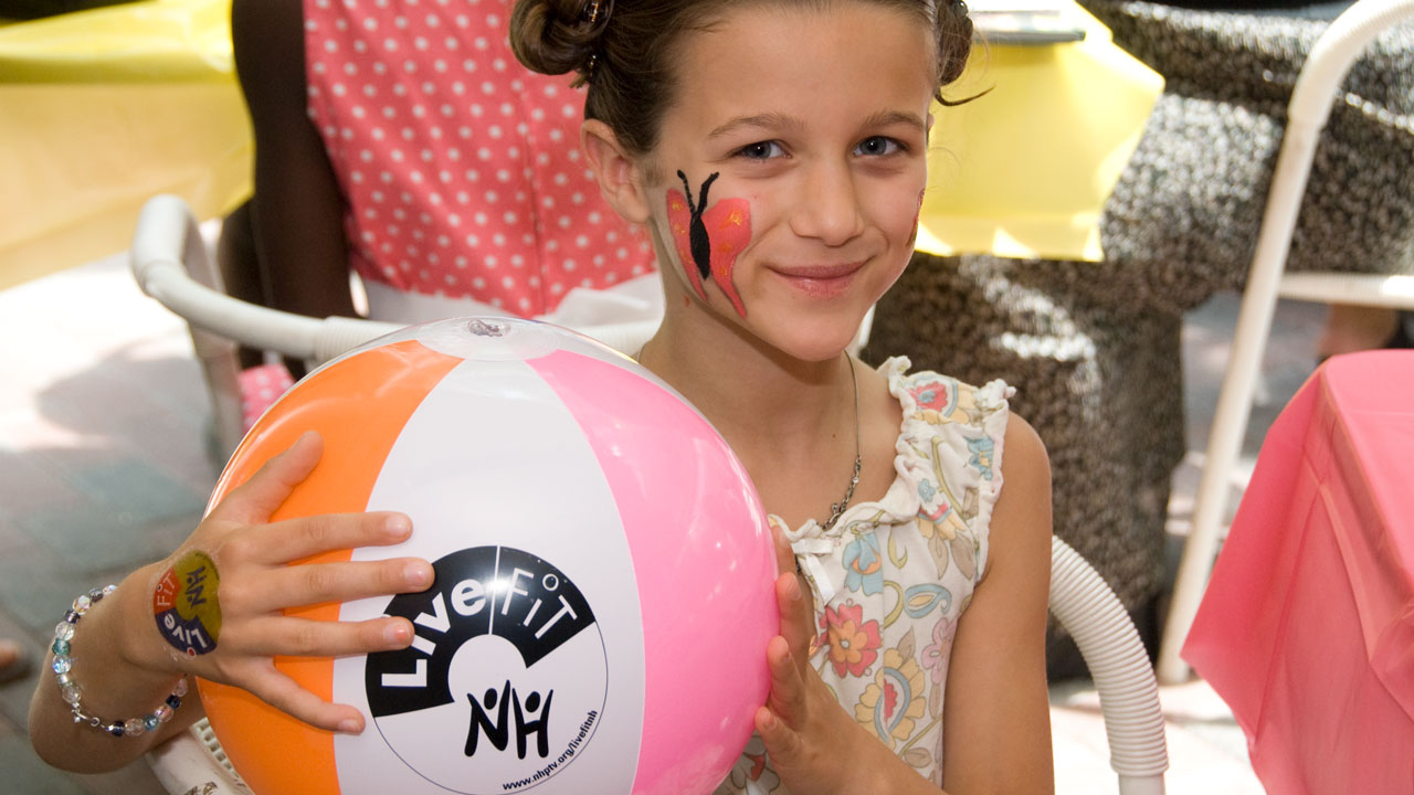
The LiveFIT NH project is focused on increasing awareness.
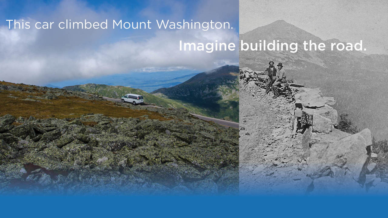
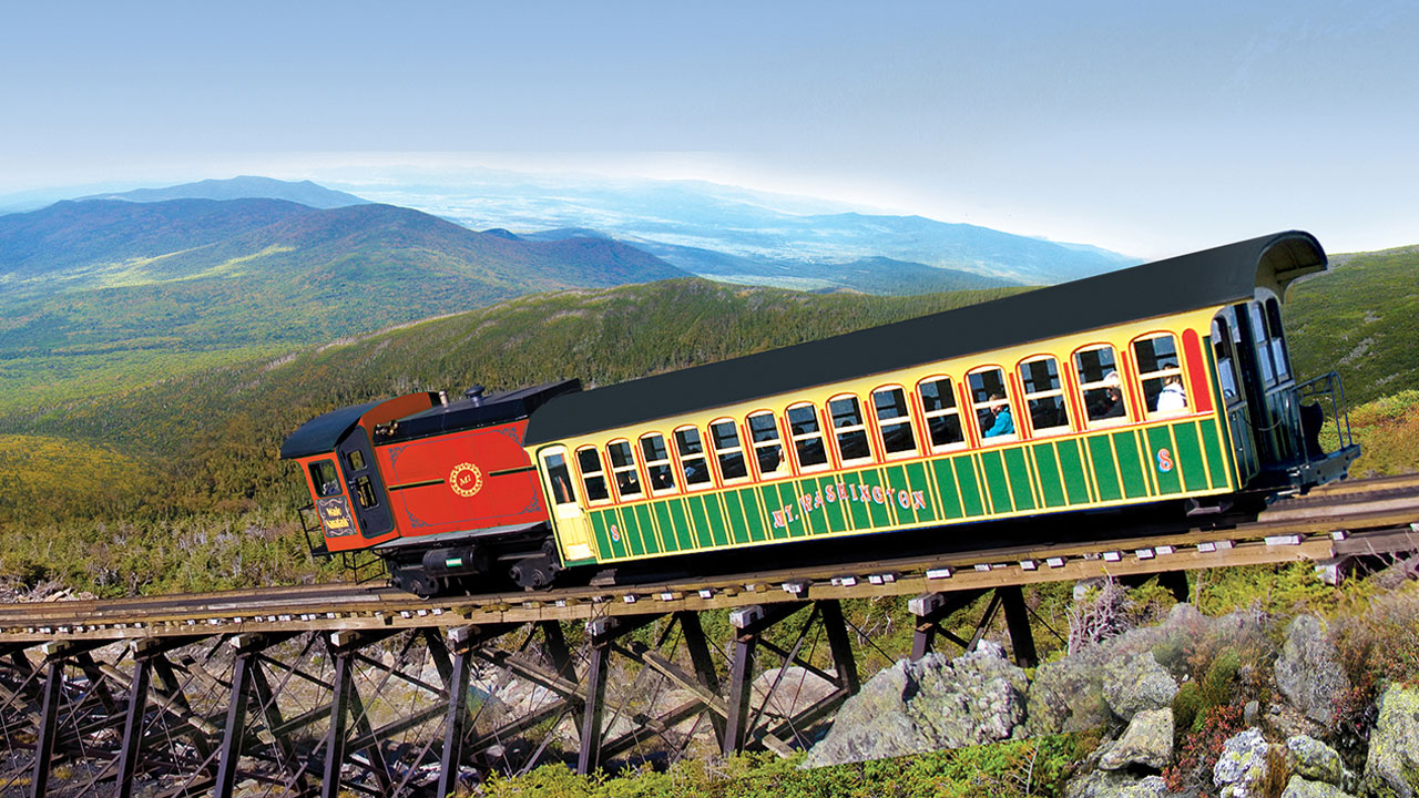
This Car Climbed Mt. Washington... Imagine Building the Road?
A story of years of adversity, persistence and success.
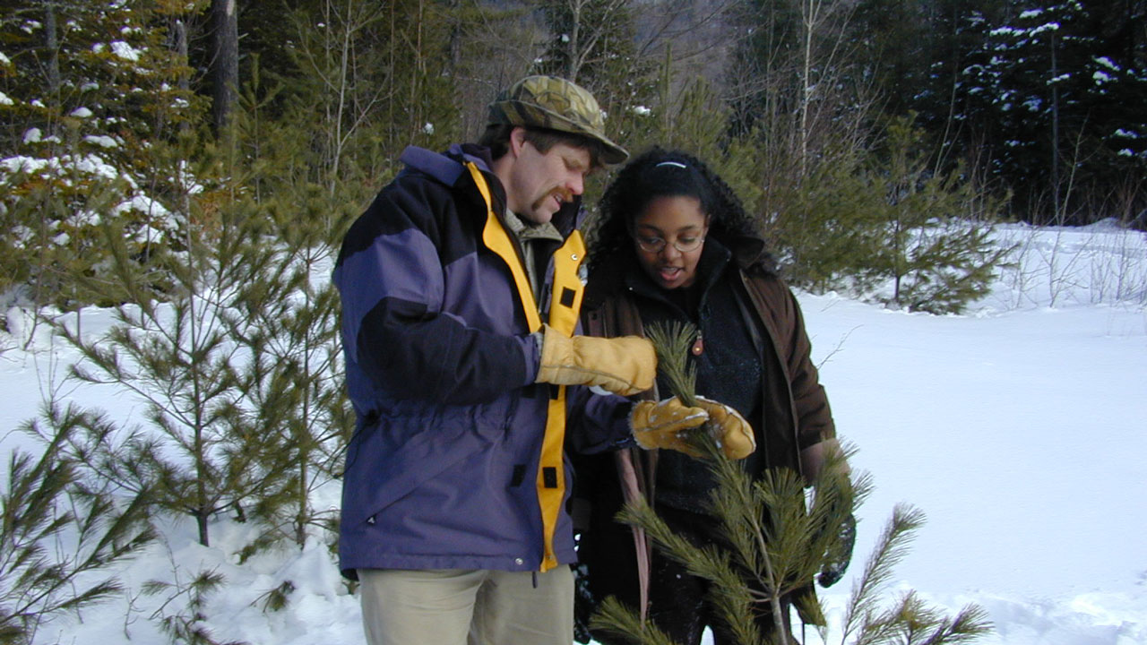
Discover the natural world with NatureWorks, a series for students in grades 3-6.
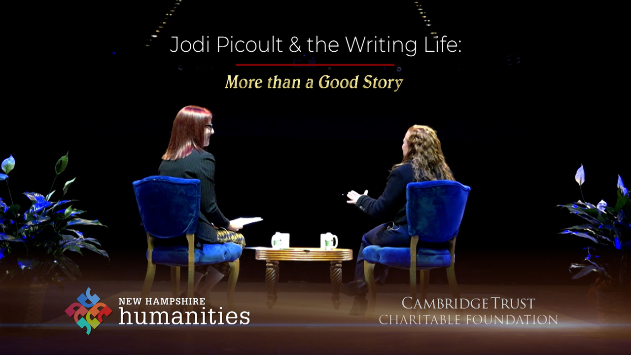
The New Hampshire Authors Series featured writers who live, summer, teach, or were born in New Hamps

Everyone needs some form of health care, but not everyone has the means to access it or pay for it.

Resources for Local Election Information
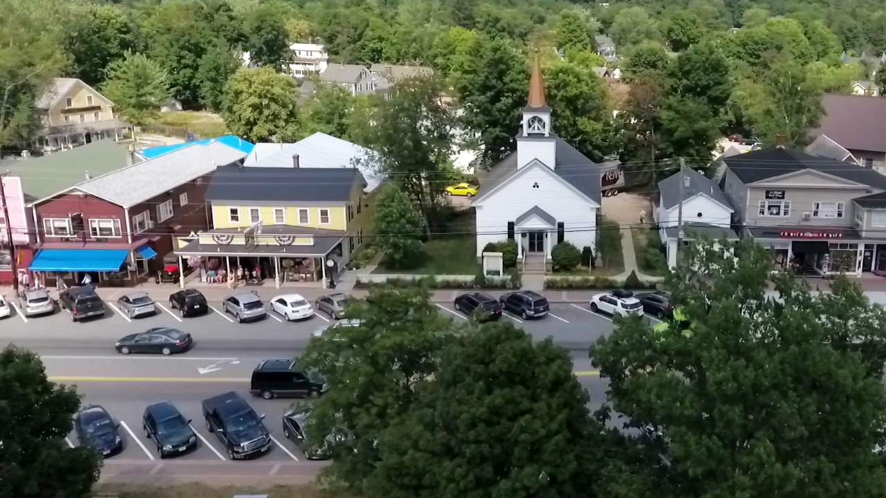
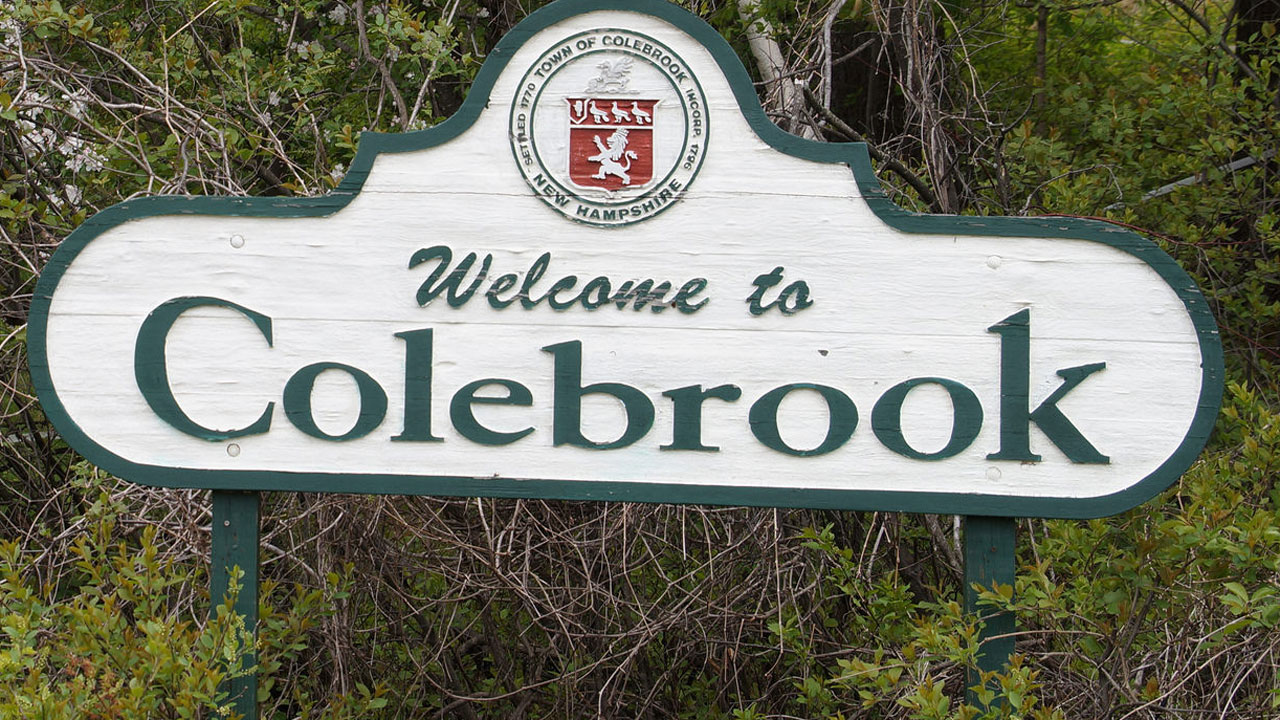
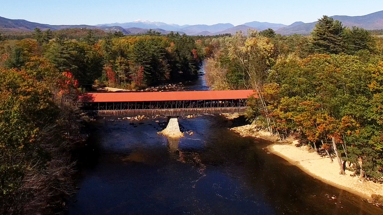
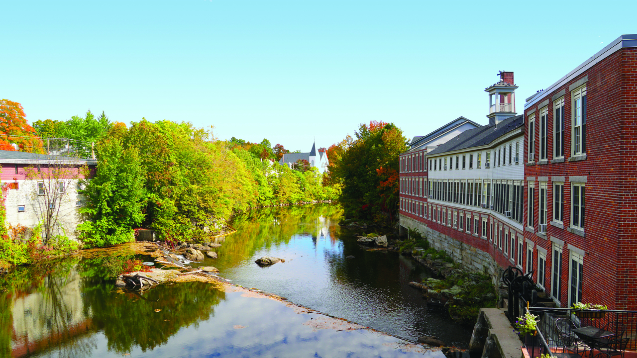
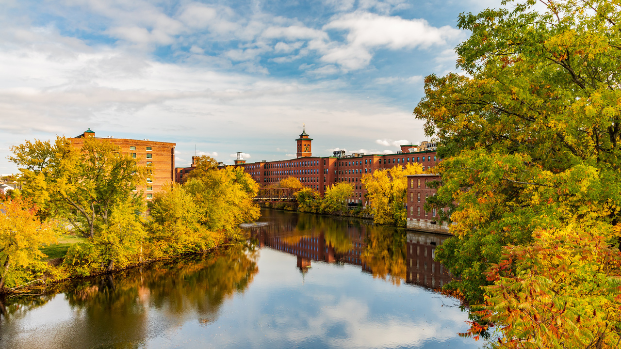
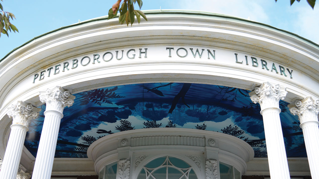
No one knows your hometown like you.
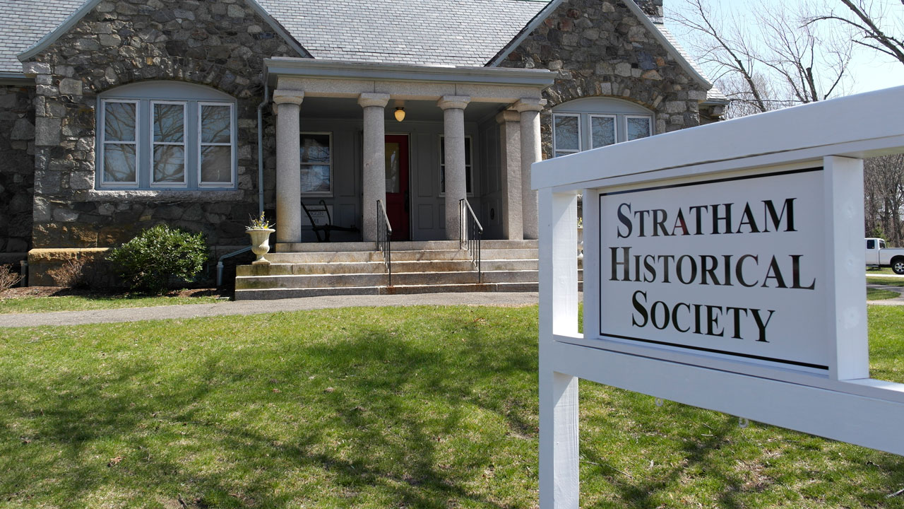
No one knows your hometown like you.
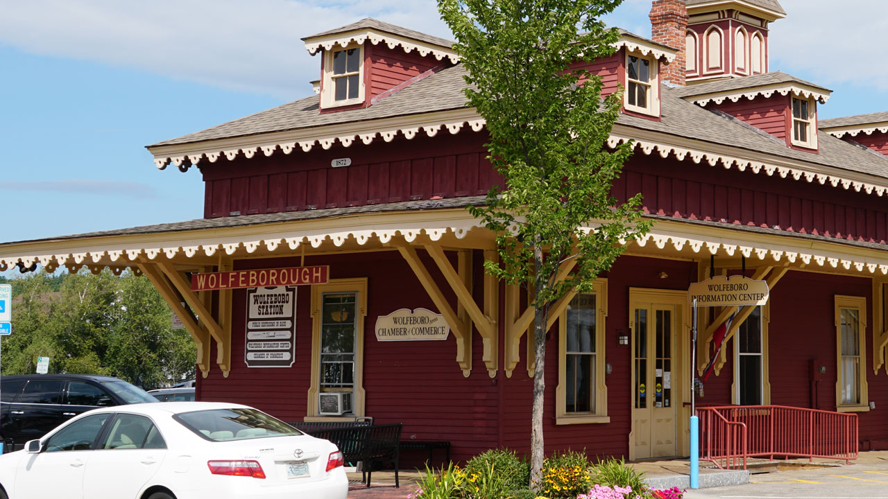
No one knows your hometown like you.

No one knows your hometown like you.
No one knows your hometown like you.
No one knows your hometown like you.
No one knows your hometown like you.
No one knows your hometown like you.
No one knows your hometown like you.
No one knows your hometown like you.
NH's Green Scene
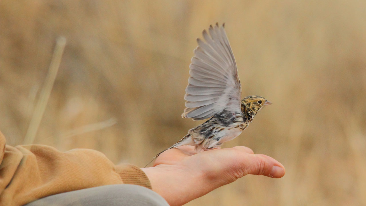
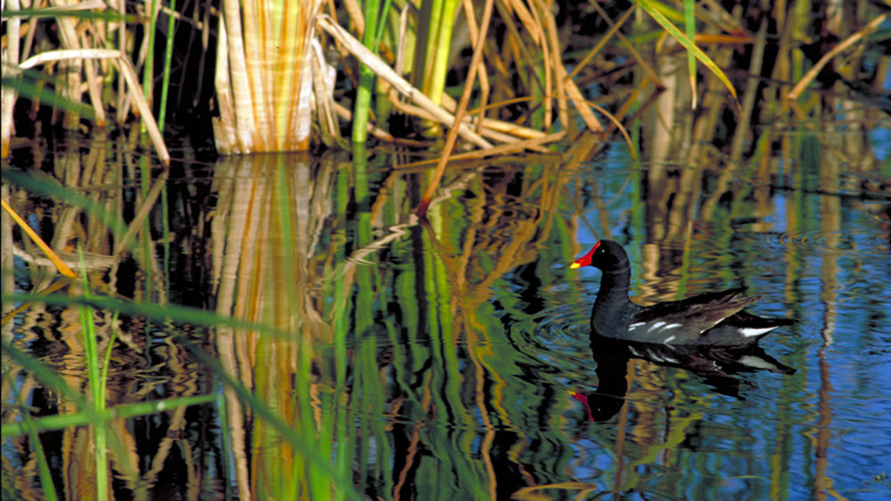
Explore efforts to protect the birds and their habitats.
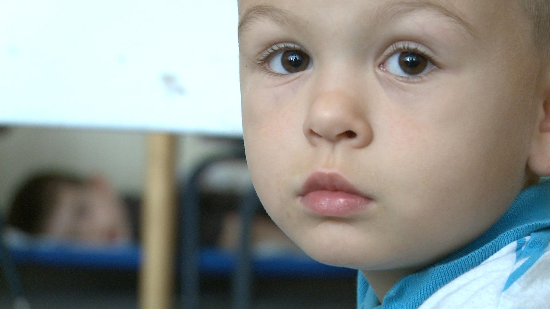
Explore the science behind early childhood development.
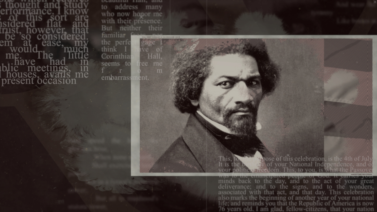
A stirring speech that is as meaningful today as it was on that day.
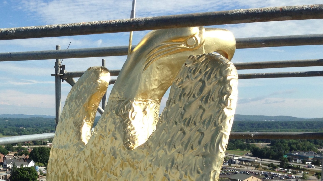
A documentary about the refurbishment of the State House in 2016.
Produced independently.
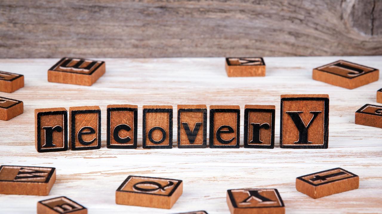
Solutions Reporting on Substance Misuse Prevention and Treatment
Lessons from the past to create a sustainable future.
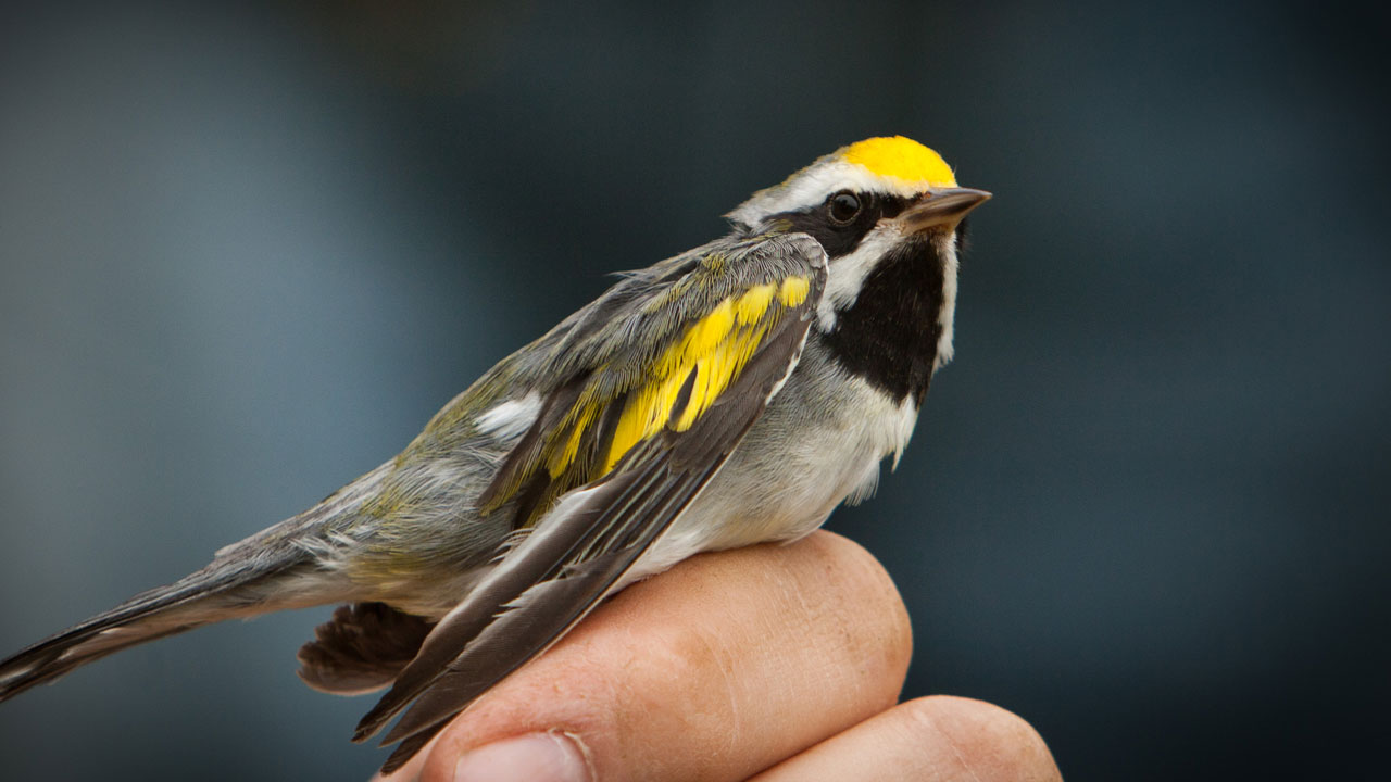
The population of many songbird species is plummeting, and the birds face serious threat.
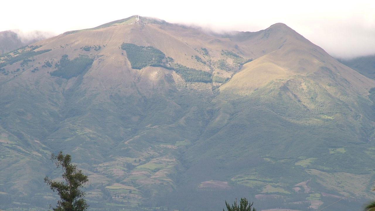
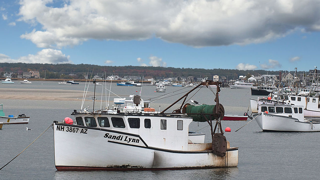
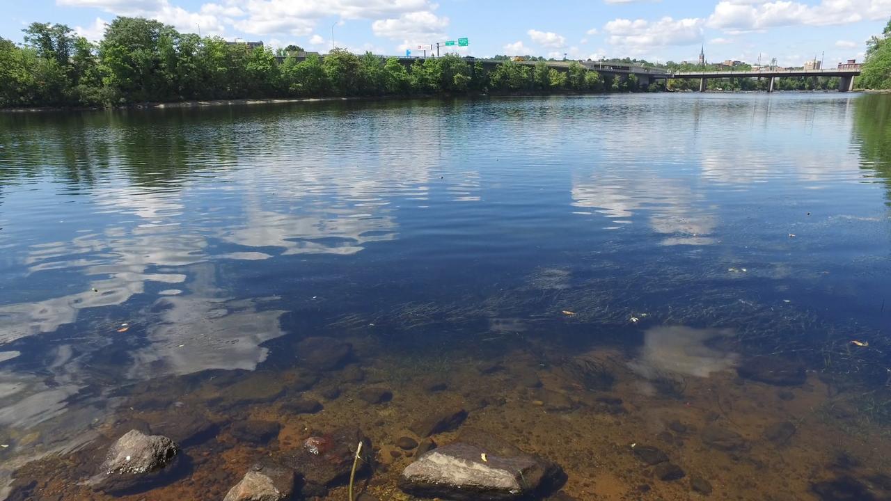
One of the country's most threatened watersheds.
Produced independently.
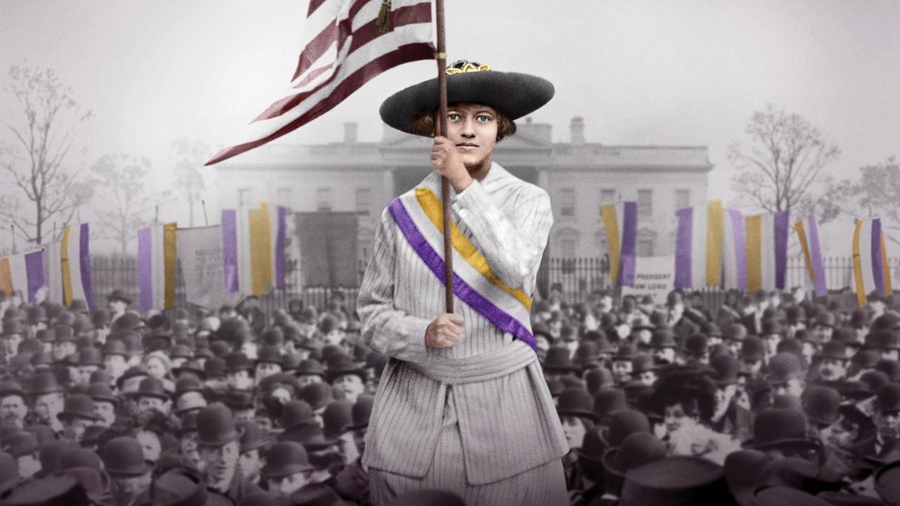
Women Weren't Given The Vote. They Took It.
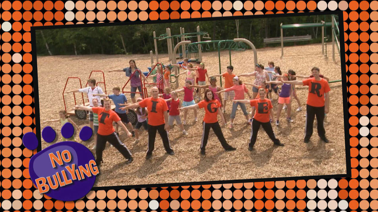
A lively, music-filled program that helps elementary school kids learn how to deal with bullying.
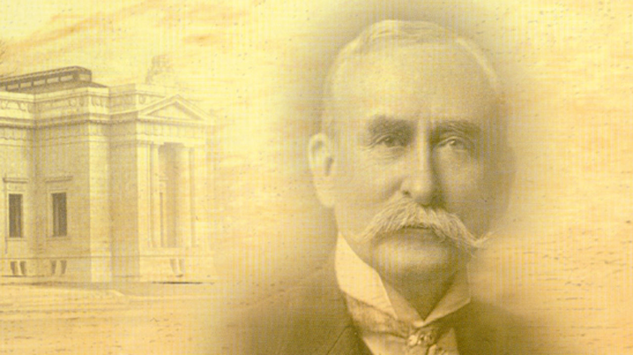
New Hampshire's temple of history.

Connecting veterans, their families and their communities.

NH high school groups performing in an a cappella competition.
We tend to take clean, safe drinking water for granted.
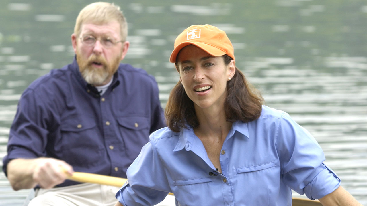
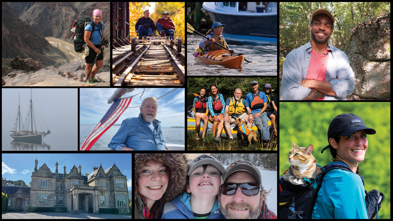
New Hampshire's outdoor recreation opportunities.
Explore the natural world!
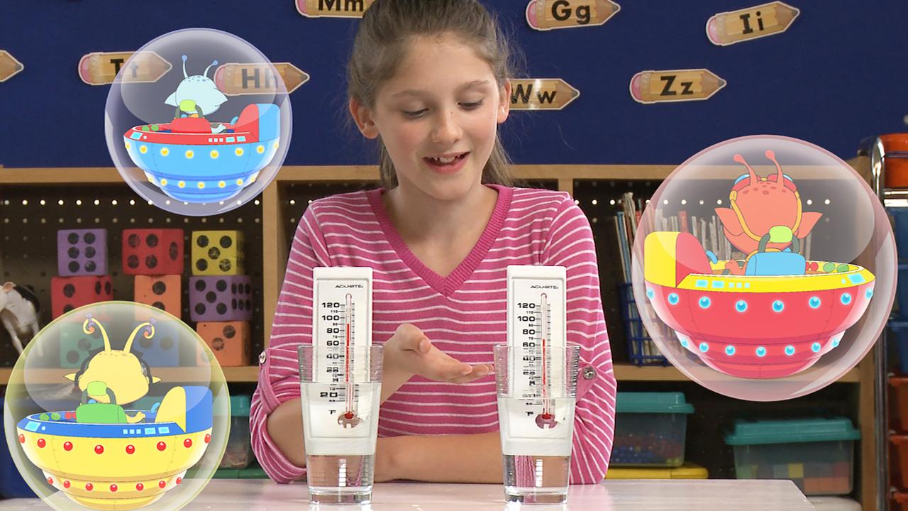
Check out our series that fosters STEM education in a K-2 curriculum.